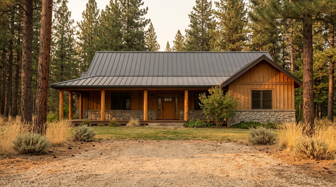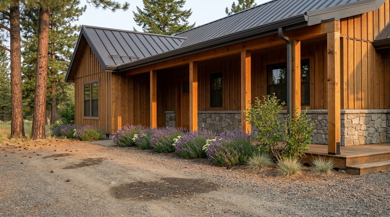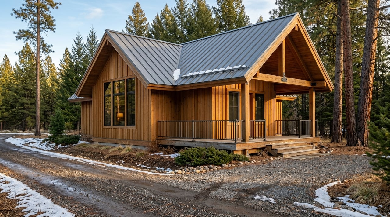
Wondering if a home near public land in Darby automatically gives you easy access to the outdoors? It is a common assumption, especially when a property looks close to the Bitterroot National Forest or other open space on a map. But in Ravalli County, close to public land and legal, practical, year-round access are not always the same thing. This guide will help you understand what to verify before you buy so you can match the property to the lifestyle you actually want. Let’s dive in.
Why proximity can be misleading
In Darby, outdoor access is a big part of the appeal. The town itself offers local recreation like a 3.5-mile non-motorized trail loop and River Park foot access to the Bitterroot River. Those amenities are valuable, but they do not guarantee legal access to surrounding federal or state lands.
Montana Fish, Wildlife & Parks treats public land as inaccessible when there is no legal route in through a public road, trail, right-of-way, easement, public waters, adjacent public land open to use, or permission from adjacent private land. Montana DNRC uses a similar standard for state trust land. For you as a buyer, that means a parcel can sit next to public land and still require careful access research.
Road status matters more than you think
One of the biggest factors in a Darby-area purchase is the road itself. Ravalli County reports about 1,450 miles of public roadway, but only about 550 miles are maintained by the county road department. That gap is important because a road may be public in some sense, yet not maintained by the county.
Ravalli County also explains that many platted county roads are not county-maintained. Some roads may be maintained by the state or by private parties instead. County-maintained gravel roads are graded on a seasonal cycle, and the county does not provide dust abatement on private roads or plan to pave existing gravel roads.
In practical terms, road status affects daily life. Winter plowing, dust, potholes, grading, and summer driving conditions can all change depending on who maintains the road. If you are buying near public land for recreation, privacy, or a cabin feel, those details can shape your experience just as much as the view.
What to confirm about the road
- Ask whether the access road is on the county-maintained road list or is only a platted road.
- Ask who handles snow removal, grading, and dust control if the road is private.
- Ask whether the route to nearby forest access connects to a legal motorized route on the Bitterroot National Forest MVUM.
- If right-of-way or boundary questions come up, verify them with a registered surveyor.
Understand public roads versus private roads
Ravalli County subdivision regulations draw an important line between public and private roads. A public road is a roadway the general public may use, but it may or may not be adopted or maintained by a public entity. A private road is maintained by a private entity at private expense.
That distinction surprises many buyers, especially those relocating from other states. You might see a road on a plat or map and assume it functions like a fully maintained public road. In reality, maintenance responsibility may still fall to owners through a road maintenance agreement or other recorded documents.
Right-of-way locations can also vary by road. Ravalli County advises buyers to verify corners, easements, and right-of-way questions with a surveyor when needed. If you are considering acreage or a home tucked near the forest edge, this step can save you from costly misunderstandings later.
Common lot setups near public land
Properties near public land in the Darby area are often set up around shared access rather than direct frontage on a fully maintained road. Ravalli County recognizes private roads, public roads, alleys, frontage roads, cul-de-sacs, and stubs. The layout on paper may be more complex than it first appears during an online search.
The county allows common driveways only when each driveway serves no more than two lots, includes a recorded easement, and has the required permits. In newer subdivisions, roadway easements must be shown on the plat, and maintenance is often handled by property owners through a recorded Road Maintenance Agreement.
These agreements are not minor details. They can address cost-sharing, vote rights, drainage, snow removal, dust control, ordinary maintenance, and reconstruction. Because they bind future owners, they should be part of your review before you move forward.
Document signals to watch for
- Private road: maintained by owners or another private party, not by the county.
- Common driveway: limited to two lots and supported by an easement and maintenance agreement.
- Public roadway easement: may be designated public on the plat without meaning the county maintains it.
Forest access requires map-based verification
If your plan includes driving into the Bitterroot National Forest, the Motor Vehicle Use Map matters. The Forest Service states that the MVUM is the legal document of record for motorized travel. It shows which roads, trails, and areas are open to motorized use, what vehicle classes may use them, and what seasonal limits apply.
This is where many buyers need a reality check. Some other public roads may appear on maps only for navigation, not as open routes for your intended vehicle use on forest land. The Forest Service also reminds visitors that the forest is remote and that private land must be respected.
For buyers in the Darby area, the Darby Ranger Station visitor center can be a practical stop because it sells maps and forest product permits. It is also smart to check current Bitterroot National Forest projects and alerts because closures and restrictions can change due to wildfire, road work, recreation management, and other factors.
Seasonal access changes expectations
Near public land does not always mean four-season convenience. In the Darby area, some recreation sites operate on seasonal windows tied to snow and road conditions. The Bitterroot National Forest notes that Coyote Coulee Trailhead is open Memorial Day through Labor Day, while Observation Point Campground is open July through September or until closed by snow.
That matters when you picture how you will use the property. A home that feels ideal for summer trail access may not deliver the same convenience in late fall, winter, or spring. If year-round recreation access is a top priority for you, seasonal patterns should be part of your decision, not an afterthought.
The MVUM also includes seasonal and special designations that can limit use by time of year or vehicle class. Before you assume a route works for your truck, SUV, or off-highway vehicle, confirm the current rules.
State trust land has its own rules
If a property touches or sits near Montana state trust land, take an extra minute to verify what access actually exists. Montana DNRC says state trust land is legally accessible only through a public road, adjacent public land, public waters, permission from an adjacent landowner, or a public access agreement.
DNRC also notes that recreation on state trust land requires a Montana conservation license. Temporary management closures can happen as well, and DNRC says short-term closures may not always appear on the public-access map. For buyers who want easy, repeat use of nearby land, that is another reason to confirm the current rules rather than rely on assumptions.
A practical showing checklist
When you tour a property near public land, try to look past the scenery for a few minutes and focus on the legal and practical setup. A beautiful setting is only part of the value equation. The route in, the documents behind it, and the seasonal realities matter too.
Use this checklist during showings and inspections:
- Ask for the recorded plat, title report, and any road or driveway easements.
- Confirm whether the access road is county-maintained, privately maintained, or only platted.
- Ask how snow removal, grading, pothole repair, and dust control are handled.
- Check whether your intended forest route appears on the Bitterroot MVUM and is open for your vehicle class and season.
- If the property borders state trust land, confirm the legal access route and whether a conservation license is needed for recreation.
- If access depends on a shared road or common driveway, review the recorded maintenance agreement and what it covers.
- Ask whether nearby trailheads, campgrounds, or recreation sites are seasonal or snow-limited.
- If boundaries or rights-of-way seem unclear, verify them with a surveyor before your final decision.
What this means for your Darby search
In Darby, buying near public land can be an excellent fit if you want a recreation-focused lifestyle, more breathing room, or a property with a strong mountain setting. But the best purchase decisions usually come from replacing assumptions with verification. The question is not just how close the land looks on a map, but how you legally and practically reach it.
This is especially true for out-of-state buyers, second-home buyers, and anyone looking at cabins, acreage, or homes at the edge of town. Access, maintenance, and seasonality can all affect long-term enjoyment and ongoing costs. Taking time to review those details upfront can help you buy with confidence.
If you are comparing properties around Darby and want a hands-on look at access, easements, road setup, and how a parcel fits your day-to-day plans, Wanda Sumner can help you sort through the details and focus on what works in real life.
FAQs
What does buying near public land in Darby really mean?
- It usually means you are close to recreation opportunities, but it does not automatically mean you have simple, legal, or year-round access to federal or state land.
What road questions should buyers ask about Darby properties?
- Ask whether the road is county-maintained, privately maintained, or only platted, and confirm who handles snow removal, grading, potholes, and dust control.
What is the Bitterroot MVUM for Darby-area buyers?
- The Motor Vehicle Use Map is the legal document of record for motorized travel on National Forest System lands and shows which routes are open, for which vehicle classes, and during which seasons.
Can a public road near Darby still be unmaintained?
- Yes. Ravalli County says a road may be public for use by the general public but still not be adopted or maintained by a public entity.
What should buyers know about shared driveways in Ravalli County?
- Common driveways may serve no more than two lots and require a recorded easement and maintenance agreement.
Are Darby-area trailheads and campgrounds always open year-round?
- No. Some nearby recreation sites have seasonal opening windows or close due to snow and changing conditions.
What should buyers verify for property near Montana state trust land?
- Verify the legal access route, confirm current access conditions, and remember that recreation on state trust land requires a Montana conservation license.
When should a buyer get a survey for a Darby property?
- If property corners, right-of-way locations, easements, or possible encroachments are unclear, a surveyor should verify them before you close.